

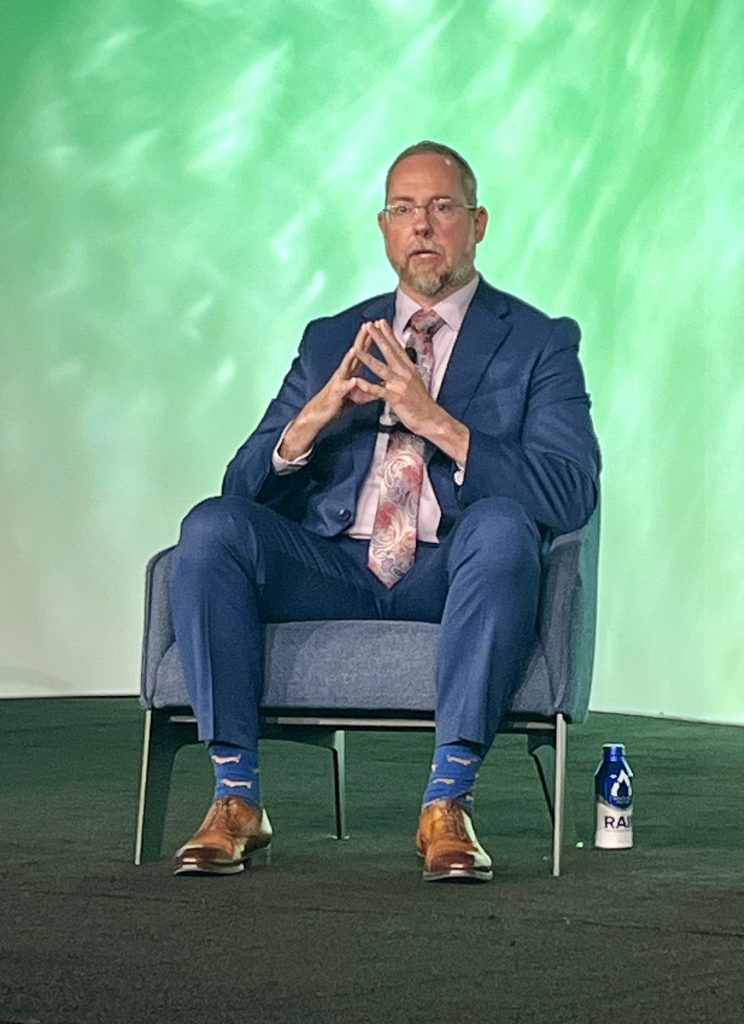
The technology behind indoor mapping is no longer the hard part. The hard part is getting people to trust it, fund it and use it every day. And not just during a crisis. At the Esri Safety and Security Conference, a panel of geospatial veterans moderated by Brooks Shannon, Esri’s Director of Emergency Communications Solutions brought together three practitioners at very different stages of their indoor mapping journeys: Susan Benedicto of the City of Frisco, Texas has run her SAFER program since 2008; Donna Goldstein of the School District of Palm Beach County has spent decades folding GIS into facilities management; and Claudia De Santiago of the UC San Diego Police Department is just beginning to bring indoor data into her department’s dispatch workflow. Together, their experiences formed a single arc: indoor GIS only works when departments, vendors and frontline responders build it together.
The Long Road to Indoors
Benedicto’s SAFER program (Situational Awareness for Emergency Response), began almost by accident. A local school district wanted to hand over floor plans on a compact disc (CD) so responders could pull them up during an emergency. The problem was that mobile data computers in patrol cars had no CD readers and no way to display floor plans at all. Her fire chief pushed her toward something better. “Don’t hang your hat on public safety unless you’re going to show the value,” he told her early in her career. That challenge became the seed of SAFER.
Because ArcGIS Indoors did not exist yet, the city of Frisco built its own floor plan data schema and used Esri’s time-aware feature as a workaround for switching between floors. That homegrown system worked for years. It covered schools, hospitals, event venues and the city’s professional sports and PGA facilities. But when Esri’s indoor platform matured, Benedicto realized her custom schema, while effective, would not scale into the standards emerging around Next Generation 911. She spent two years convincing her own analysts, then converted the data and adopted ArcGIS Indoors outright. Today SAFER integrates more than 40 disparate systems and covers over 20 million square feet of floor plan data across Frisco’s highest-occupancy buildings.
Goldstein’s path started differently. Palm Beach County School District acquired its geospatial safety software in the wake of the Parkland shooting, when Florida recognized the urgent need for serious school safety tools. But acquiring software and building a working system are not the same thing. Many of the district’s floor plans existed only in AutoCAD, some were hand drawn and several charter schools had no floor plans at all. Her vendor, GeoComm, went out and physically collected that missing data.
De Santiago’s provided the rawest origin story of the three. When she started as a crime analyst at UC San Diego, the entire campus operated under a single address. “When your chief asked ‘Can you do a location analysis for the last 10 years at this specific location,’ that was quite complicated,” she said. The location data was so messy it undermined basic crime analysis. There was no GIS program on campus at all. Now there is one, and her department is in the early stages of bringing indoor maps into its computer aided dispatch (CAD) system.
When Indoor Maps Save Minutes and Lives

Real incidents illustrate real return on investment (ROI). Shannon shared a harrowing 911 call from Southern Illinois involving a high school student who texted 911 while contemplating suicide in a bathroom stall. Indoor location accuracy during 911 calls typically starts weak and improves as a call progresses. In this case, a side-loaded ArcGIS-built indoor map in the CAD system enabled telecommunicators to pinpoint the student to a specific second floor bathroom near a known entry point as the call unfolded.
Benedicto described a fire alarm at a Frisco school where SAFER’s integration of more than 7,000 cameras let dispatchers spot smoke coming from the kitchen area in real time. Because responders already had indoor floor plans, they identified the nearest entry point, bypassed the front of the building and went straight to the kitchen next to the laundry room, where a lint fire had started in a dryer. “The ability to see and know where that location is, find the closest ingress entry point and get there, really shaved off minutes from their walk in,” Benedicto explained.
She also recounted a 36-hour apartment complex fire during a 2021 winter storm, when frozen fire suppression piping forced crews to rely on indoor data about the building’s suppression system layout to stage their response effectively. It ultimately helped contain one of the department’s largest fires ever.
People First, Technology Second

Despite the ROI, technology never sells itself. Goldstein has spent her career translating GIS into terms that facilities managers and police chiefs actually care about. “I have found throughout my career that my role has always been somewhat of a lobbyist or salesman trying to convince people of the benefits of GIS because a lot of people just don’t know what it even means,” she said. Winning over her director and then the district’s police chief required trust built over years, not a single pitch. Once buy-in existed, a project management office kept weekly meetings on track for over a year. GeoComm attended every single session. De Santiago faced a more personal version of the same resistance inside her own campus police department. Officers accustomed to doing things one way pushed back hard when address standardization first arrived. “I’m not doing this,” some told her outright. Rather than treating that as rejection, she read it as an opening. “I take that as a challenge, and also as a sign this person trusts me enough to tell me that they don’t want to do this,” she said. She showed skeptical officers how much faster she could analyze crime patterns with clean location data, and slowly the culture shifted. Now detectives approach her asking when floor plans will be ready. She is working with an outside CAD vendor to integrate ArcGIS Indoors directly into dispatch.

Goldstein said it best. “The technology can be the best technology in the universe, but it’s always about the people. It’s always about the people and building those relationships.”
Standards, Maintenance and What Comes Next
Technical plumbing makes all of this durable. Updates to 911 GIS standards, particularly site structure polygons that map individual rooms for location validation, are driving the use of ArcGIS Indoors. Benedicto, who stays in close contact with local 911 authorities to keep pace with evolving standards, confirmed this was a key reason Frisco moved to the ArcGIS Indoors schema in the first place. Goldstein noted that Palm Beach County’s system already connects directly to 911 through an API to give every first responder and dispatcher the same live picture.
Maintenance also came up as the unglamorous key to long-term value. In Frisco, school resource officers verify cameras annually and fire crews conduct yearly inspections using field apps to catch structural changes that permitting records might miss. In Palm Beach County, resource officers patrolling schools daily log any moved wall or repurposed room directly into the application, which flows to the district’s building department for immediate map updates. Goldstein pointed to a district with buildings dating to the early 1900s, arguing that historical renovation data tied to indoor maps could eventually support predictive maintenance planning.
De Santiago closed with a glimpse of where indoor GIS is heading next at UC San Diego, where two campus libraries are piloting capacity sensors alongside ArcGIS Indoors wayfinding, with plans to expand campuswide.
The Real Return on Investment
Three versions of the same human story emerged across Frisco, Palm Beach County and UC San Diego. Each program started from a different pressure point, whether from a CD nobody could read, a tragedy that reshaped state policy or messy data that made basic analysis impossible. Yet each arrived at the same conclusion. Indoor maps only deliver value when departments, vendors and skeptical frontline staff genuinely collaborate. Ideally this happens long before an emergency ever tests the system. As Next Generation 911 standards mature and more agencies confront their own version of the CD-in-the-cruiser problem, the main takeaway is to build the relationships first. The maps will follow. In public safety, the shortest distance between a crisis and a response is rarely a hallway. It’s trust.