Public Safety

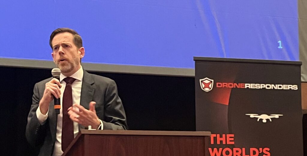
Breaking the Law Within the Law: Implementing SAFER SKIES C-UAS Powers for Local Police
By: Tom Adams, DroneShield and Autonomy Global Contributor* State and local officers finally have a legal path to put hands on rogue drones, but only if they can “break the...Read More
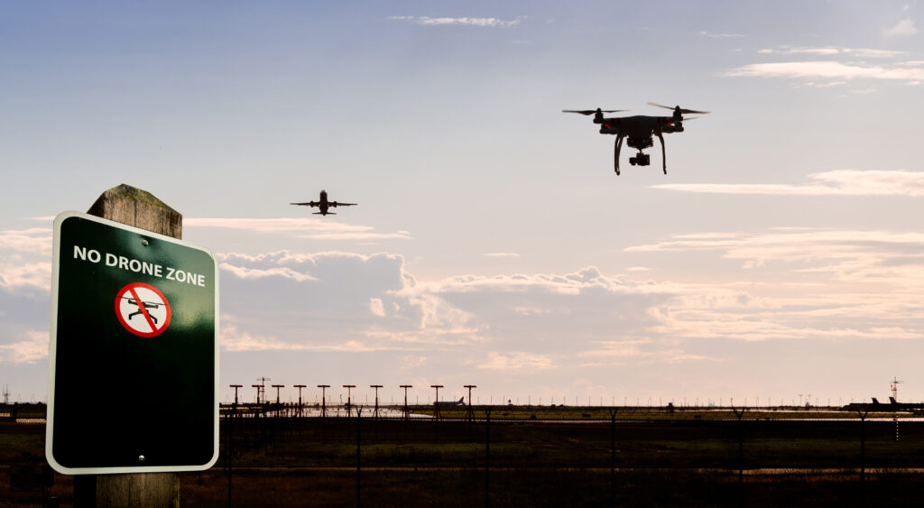
DiSCVR: Giving Law Enforcement a Faster Way to Answer “Who’s Flying That Drone?”
By: Dawn Zoldi* When a suspicious drone pops up over a stadium, campus, or critical facility today, the most basic question can be the hardest to answer: Who’s behind the...Read More

Always On, When Seconds Matter: Viasat’s L‑Band Connectivity Elevates Public Safety UAV Operations
By: Dawn Zoldi As public safety agencies increasingly rely on uncrewed aircraft systems (UAS) and advanced air mobility (AAM) platforms, their success depends on one thing above all else: an...Read More

When the Drone Is First on Scene, the Network Can’t Be Last
By: Dawn Zoldi Drones and ground robots have become force multipliers for a wide swath of public safety agencies. Their value, however, hinges on one invisible factor: whether the network...Read More
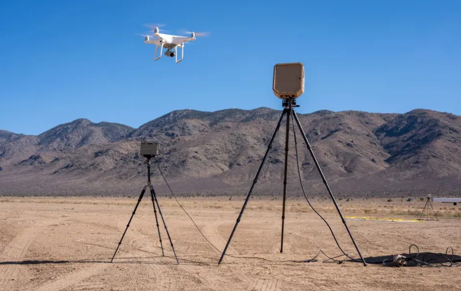
Unlocking BVLOS for 911 Drones: How Echodyne’s EchoShield Makes DFR Truly First-Responder Ready
By: Dawn Zoldi Drone as First Responder (DFR) programs have already changed how communities think about 911 response. Even so, most still operate inside a tight visual bubble around the...Read More
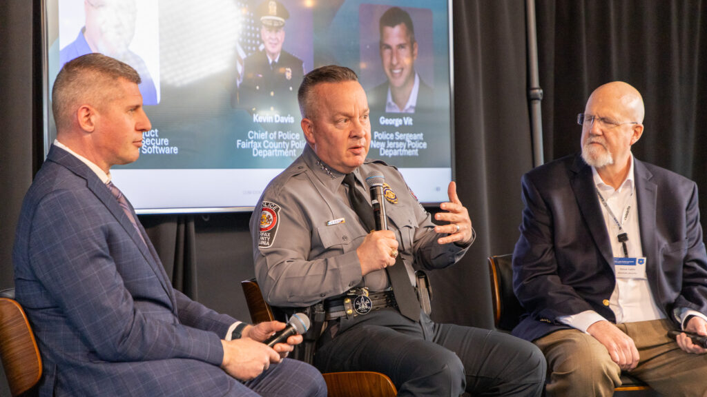
Rising Threats, Evolving Tech: Carahsoft Powers the Future of Law Enforcement Innovation
By: Dawn Zoldi As threats grow more complex and data volumes explode, law enforcement agencies remain under pressure to do more with less. Drawing on insights from an exclusive interview...Read More

U.S. Drone Rules Go Hardline: What Europe Needs to Know in 2026
By: Joanna Wieczorek, Autonomy Global Ambassador – Europe At this year’s flagship Cumulsy event in Poland, Dawn Zoldi provided an overview on the United States’ changing drone and counter-drone landscape....Read More
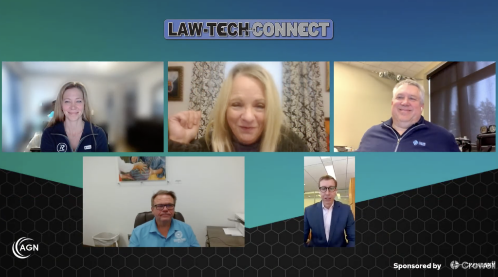
Law‑Tech Connect 2026 Preview Sets the Stage for Detroit’s Autonomy Law Crossroads
By: Dawn Zoldi Law‑Tech Connect 2026 (LTC) has officially kicked off its run‑up to AUVSI XPONENTIAL (Detroit) with a live preview of its first four panels to usher in a...Read More
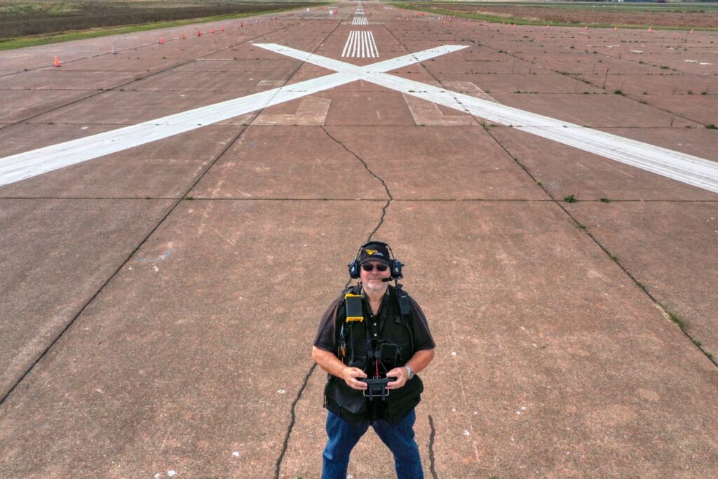
Golden Hour Search and Rescue: Specialized Drone Training for Mission Success
By: Dawn Zoldi Every year, tens of thousands of people go missing in wilderness areas, and hundreds of thousands vanish under a variety of other circumstances in the United States...Read More

Human-In-The-Loop Beats Full Autonomy in Africa – Here’s Why
By: Peter Karanja, Autonomy Global Ambassador – Africa Autonomy is easy to sell on a slide deck. I have seen potential customers light up when they learn that artificial intelligence...Read More