Government

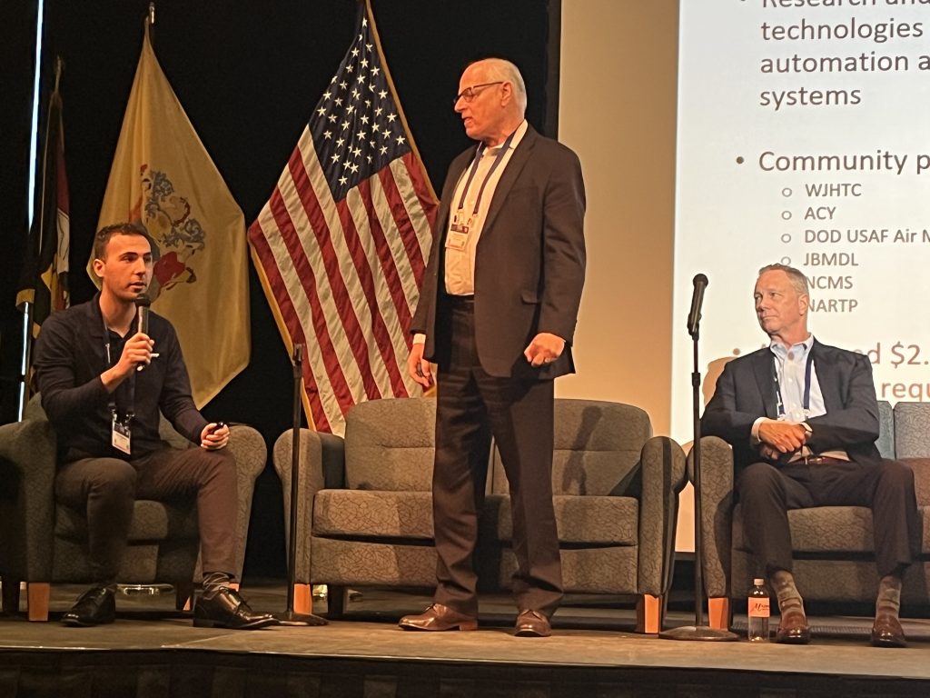
New Jersey Puts Down Roots for a National Aviation Innovation Corridor
By: Dawn Zoldi At the Shore to Soar 2026 (S2S) in Cape May, New Jersey, a panel moderated by NARTP Board Chairman Mark Loeben, a 31-year Air Force veteran (Major...Read More

The Nightmare Scenario Is Already Here: Stolen Spray Drones and the C-UAS Reckoning
By Dawn Zoldi On March 24, fifteen Ceres Air C31 agricultural spraying drones, each the size of an ATV, each capable of dispersing 40 gallons of liquid across a 15-mile...Read More

Drones, AI, and the Missing Operational Readiness Link in African Wildlife Conservation
By: Peter Karanja, Autonomy Global Ambassador – Africa African conservation does not have a drone adoption problem. Over the years, drones have been deployed to track wildlife. AI has been...Read More

Japan’s Commercial Space Ascent: SPACETIDE, the Space Strategy Fund and U.S.-Japan GEOINT Cooperation
By: Dawn Zoldi Masayasu Ishida, co-founder and CEO of Tokyo-based SPACETIDE Foundation, took the stage for his first-ever appearance at GEOINT, in front of a room dotted with Japanese colleagues...Read More

Crimson Tide Counter-Drone: The Future of Campus Airspace Security
By Dawn M.K. Zoldi The University of Alabama in Tuscaloosa boasts an enrollment record of 41,000 students. On any given autumn Saturday, more than 100,000 fans pack Bryant-Denny Stadium, one...Read More

From Infrastructure to Intelligence: More Carahsoft Partners at GEOINT Symposium 2026
By: Dawn Zoldi The GEOINT Symposium 2026 made one thing unmistakably clear: the technology challenge facing the geospatial intelligence community is no longer about collecting more data. It’s about building...Read More

Turning Data Into Decisions: How Carahsoft Partners Are Powering the GEOINT Symposium 2026
By: Dawn Zoldi The world produces more location-based data than any analyst, agency or algorithm can handle alone. Satellites image near-complete coverage of the earth’s surface. Sensors track objects in...Read More
Bridging Sky and Space: Viasat’s Velaris and the Future of BVLOS UAV Connectivity
By: Dawn Zoldi When a UAV crosses the threshold of visual line of sight, the pilot loses direct perception of the aircraft. A reliable, continuous data link that carries command-and-control...Read More

Vertical Flight Infrastructure: Understanding the Layers of Legal Risk
By: Rex Alexander, Autonomy Global Ambassador – Infrastructure Across the United States, a dangerous misconception continues to persist within the vertical flight community that if something is not explicitly regulated,...Read More
Drone Gate, Counter-UAS and Air Bosses: Lessons for Public Safety
By: Ron Leach, CEO Leach Strategic Partners & Autonomy Global Guest Contributor Coordination can mean the difference between an aerial mission that saves lives and one that nearly ends them....Read More