By: Dawn Zoldi
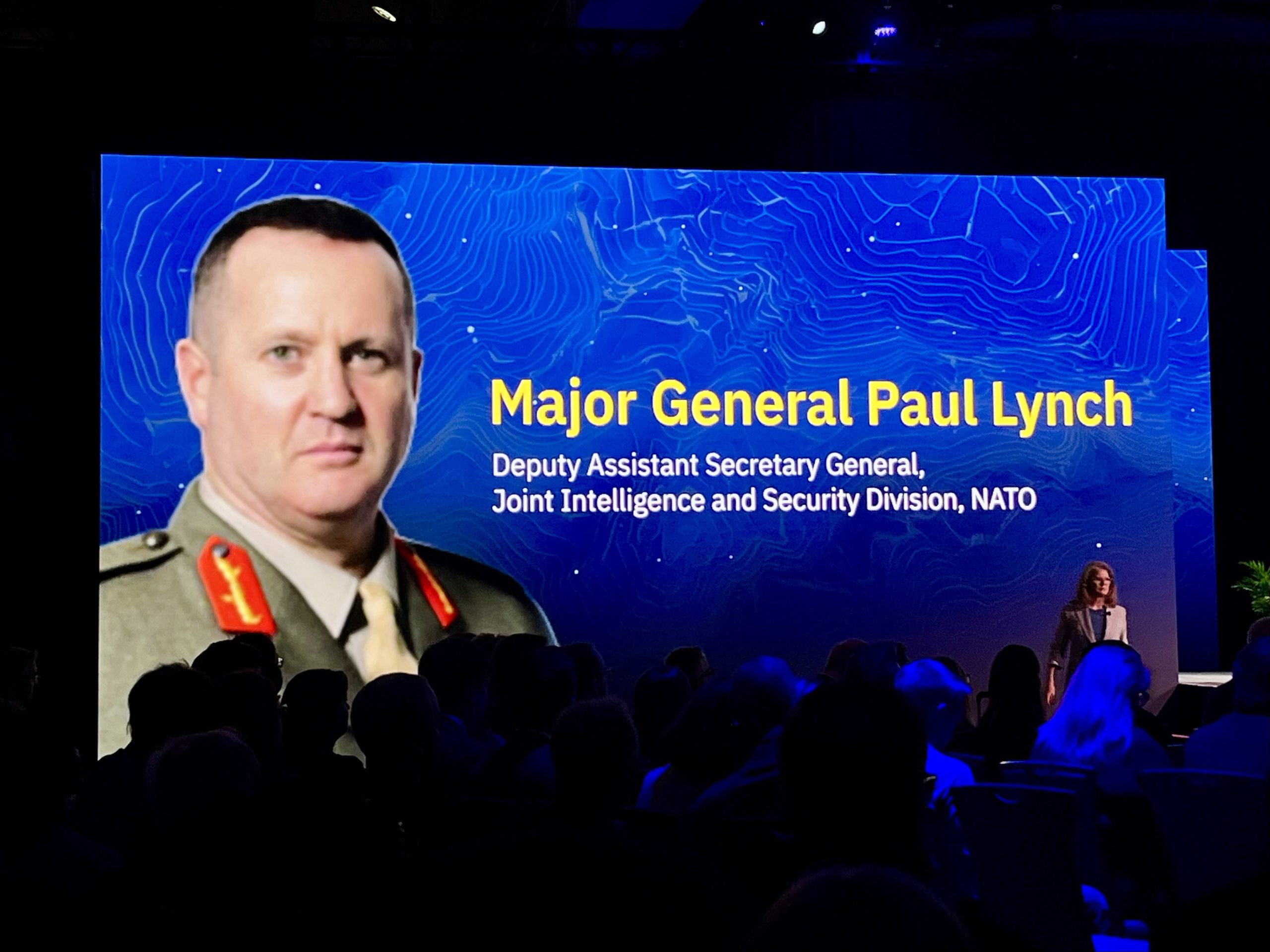
The 2026 GEOINT Symposium opened its keynote stage with Major General Paul Lynch, Deputy Assistant Secretary General of the Joint Intelligence and Security Division at NATO. A 30-year veteran of the British Royal Marines with deep experience in multinational defense intelligence, he came with a direct request: help the alliance solve the one problem that modern warfare keeps exposing, getting intelligence where it needs to go, fast enough to matter. Across 32 allied nations, 32 classification systems and an increasingly AI-driven data landscape, that problem may very well be harder than it sounds.
The Strategic Environment Has Structurally Shifted
Lynch grounded the room in a geopolitical reality. Russia’s war against Ukraine, now in its fifth year, despite early predictions it would end in five days, has sustained a front line that continuously stress-tests allied intelligence architectures. China’s growing military capability and technological alignment with Moscow have reinforced what Lynch called “a more contested global order.” Terrorism persists. Hybrid threats, airspace violations, shadow fleet sanctions evasion, cyber operations and disinformation campaigns have expanded the threat surface across every domain.

What made 2025 particularly significant, according to Lynch, was not just the scale of the threats but the alliance’s response to them. European NATO members and Canada increased defense spending by roughly 20 percent last year. This equates to the fastest rate of growth since the Cold War. For the first time since the 2 percent GDP target was set in 2014, every single NATO ally actually met it. At the Hague Summit in June, the alliance collectively committed to a new benchmark of 5 percent of GDP by 2035. “Three years ago,” Lynch noted, “that would have been considered science fiction.” But he was quick to add this caveat, “Defense investment without intelligence investment is capability without awareness.”
Ukraine Teaches the Intelligence Community a Hard Lesson
Lynch returned repeatedly to Ukraine as the most unambiguous classroom for modern intelligence. The effectiveness of allied support, he argued, depended on something the pre-2022 NATO framework was not built to deliver: the rapid, continuous fusion of national intelligence across 32 allies, commercial satellite imagery from a proliferating ecosystem of providers and the integration of cyber and open-source intelligence, all flowing to decision makers in hours, not days.
“When that fusion has worked, it has been genuinely extraordinary,” he said. “Some of the multi-source intelligence work supporting Ukraine has been the most sophisticated I’ve seen in my 30-year career.”
But when it hasn’t worked, Lynch said, the failure was almost never a collection failure. It was an integration failure. That message landed hard in a room filled with satellite manufacturers, imagery analysts and sensor developers, an industry heavily invested in the collection side of the equation.
“The pipeline is where the real work lies,” Lynch noted. “The exploitation workflow, the dissemination architecture, the classification and releasability frameworks, they determine whether imagery and derived products reach the right decision maker in a usable form at the moment they’re needed.”
He pointed to a concrete institutional response as one example of positive change. In 2025, NATO opened JATEC, the Joint Analysis, Training and Education Center in Poland, the alliance’s first-ever joint NATO-Ukraine organization designed specifically to capture battlefield lessons before they fade. “The loop between battlefield lesson and architectural change has to be short,” Lynch explained. “In my experience, it is rarely short enough.”
Commercial Space Is Now Central to Allied Intelligence
Lynch made positive observations on the transformation of the commercial geospatial industry from peripheral vendor to essential strategic partner. The proliferated satellite architecture, he noted, is not a future capability. It has already arrived. Revisit rates, resolution and analytical depth from commercial providers have fundamentally changed what allied commanders can expect from geospatial intelligence support. He pointed to a milestone from the Hague Summit, where NATO released its first-ever commercial space strategy. It formally recognizes that commercial space is central to the intelligence enterprise.

“I think back to my early experience in Afghanistan and Iraq in 2002 and 2003,” Lynch said. “I marvel at what could have been done differently if we had the space-based geospatial assets available today.”
The opportunities now, he explained, remain real and measurable. Smaller NATO allies that could never have funded national collection systems can access commercial imagery and analytics that meaningfully contribute to the shared operational picture. This narrows the collection asymmetry within the alliance.
The Governance Problems No Single Nation Can Solve
The problems in sharing this data, and what it means, however, remain equally real. The governance frameworks for incorporating commercial intelligence into allied decision cycles were designed for a world that no longer exists. Commercial geospatial data currently enters NATO systems “mostly through exceptions and workarounds, not design pathways.” Redesigning those pathways, Lynch said, may represent “the highest return intelligence infrastructure investment NATO makes in the next five years.”
This interoperability challenge carries over into the allied use of artificial intelligence (AI) as well. He offered a real world scenario. Imagine, he said, a national AI model trained on one nation’s imagery dataset that produces a detection report. That report arrives in a combined headquarters alongside a report from a different national AI model, trained on different data with different assumptions. The two reports contradict each other. “Which one does the commander use? On what basis? With what confidence?” That, he argued, is the AI interoperability challenge for allied geospatial intelligence. No single nation can resolve it alone.
The solution requires agreed standards for how models are trained and documented, how AI-enabled products are attributed and what confidence thresholds are operationally-usable in what context. “The path to AI-enabled allied intelligence advantage,” Lynch said, “runs primarily through governance, not necessarily through initial capability.”
He acknowledged that NATO already has an AI policy framework in place, and that dedicated teams in Brussels are working to advance it as technology evolves. He cited NGA’s Luno program as a model. It buys insights directly from industry, powered by AI and commercial satellites, with the institutional recognition that commercial intelligence is now a frontline capability. The alliance, Lynch said, needs a parallel evolution.
Three Priorities for the GEOINT Community
Lynch closed his remarks with a direct, three-part request to geospatial professionals. First, he called for policy frameworks that make sharing the default, not the exception. The operational tempo of modern multi-domain operations has exceeded what intelligence architectures built around manual escalation and national classification barriers can support. Controls are necessary, he acknowledged, but they should function as calibrated, trusted pathways, not barriers.

Second, he called for data standards designed for the current environment, where commercial data, national data, partner data and AI-processed products all contribute to the same operational picture. Common metadata schemes, common AI model documentation, common interfaces cannot require bespoke integration every time a new partner or source joins the enterprise. This may be unglamorous work, but it is foundational.
Third, and perhaps most passionately, he argued for sustained investment in working relationships. In the early days of Russia’s full-scale invasion in February 2022, allied intelligence sharing moved faster than formal frameworks were designed to accommodate. Approvals that should have taken weeks happened in days, not because the policy permitted it, but because people on either end of a data request knew each other, trusted each other’s judgment and understood each other’s constraints. “No policy document produces that,” Lynch said. “Years of exercises, exchanges and working in the same rooms on less consequential problems produces that.”
The GEOINT Symposium, he said, is one of the primary venues where the translation happens between technologists, operators, policymakers and the legal and acquisition professionals whose decisions about data-use agreements and contract frameworks will determine whether allied intelligence functions at the speed of modern warfare.
A Moment That Demands Action
As he begins to wrap up his posting at NATO headquarters after three years, Lynch reflected on what he hopes to leave behind. He dismissed “legacy,” as “a comfortable illusion.” He hopes that he helped to create a system that is a little clearer, a little faster and staffed by people who understand the mission and enjoy doing it.
“The demands are multiplying,” Lynch told the audience. “The pace is increasing. And the margin for integration failure is narrow.” The collection capability exists. The question the alliance, and the geospatial community, now has to answer is whether the pipeline from sensor to decision can be ready for the environment that already surrounds it.
- Global: EUR, N Amer