By: Carla Lauter, DivCom
Geo Week returns to Denver on February 16–18, 2026, bringing together the largest gathering of geospatial and built-world professionals in the United States. The annual event unites end users, regulators, service providers, and technology manufacturers to explore how data, maps, and emerging tools can deepen understanding of the world and support practical solutions to real-world challenges.
A highlight of this year’s program will be two keynote presentations that set the tone for the conference’s exploration of innovation and impact across the geospatial ecosystem. On February 16, Dr. Lilian Pintea, Vice President of Conservation Science at the Jane Goodall Institute, will open the week with a talk on how cutting-edge mapping technologies are accelerating global conservation efforts and empowering communities through actionable spatial insights. On Tuesday, Burkhard Boeckem, Chief Technology Officer of Hexagon, will deliver a keynote titled Precision and Intelligence: Powering the Next Era of Geospatial Innovation, examining how precision data, AI, autonomous workflows, and digital twins are reshaping how we design, build, and manage our physical environments.
At its core, Geo Week is designed for decision-makers and problem-solvers, the people who depend on accurate data, reliable workflows, and forward-looking expertise. The 2026 conference program blends in-depth case studies, professional guidance, tested methodologies, and discussions with industry thought-leaders who will unpack where the field is heading and how organizations can prepare.
What the 2026 Program Will Explore
This year’s content spans the technologies, policies, and methods currently reshaping geospatial practice. Key themes include:
- AI Integration: Practical examples of how AI can support geospatial work—along with an honest look at its limitations, risks, and the guardrails needed to ensure its use remains responsible, transparent, and effective.
- NSRS Modernization: Insights from leading experts on the industry-wide shift to updated National Spatial Reference System frames and models, and what organizations need to do now to prepare.
- Data Accuracy and Management: Strategies for validating, managing, and maintaining the growing volume of spatial data, with guidance on meeting accuracy requirements across multiple sectors.
- Reimagining Mapping Techniques: A look at next-generation computational methods, such as Gaussian splatting and automated reality-mesh generation,that are rapidly changing how the world is captured and represented.
- Subsurface Convergence: How technologies like ground-penetrating radar, utility mapping workflows, and digital twins are helping organizations locate, visualize, and manage complex underground infrastructure.
- Future-Ready Workforce: Approaches to training, certification, recruiting, and workforce development aimed at creating a resilient talent pipeline ready for accelerating technological change.
Two of Geo Week’s Event Partners, ASPRS and the Reality Capture Network, add further depth through advanced technical sessions, innovative case studies, and an Academic Hub featuring student research and emerging talent.
What’s New for 2026
To make it easier for attendees to navigate such a broad program, Geo Week organizers have curated content into role-based collections tailored to the needs of distinct professional groups—such as aerial mapping professionals, lidar professionals, DOT and government managers, reality capture practitioners, service providers, and project managers. Each path highlights sessions most relevant to that group’s responsibilities and challenges.
Another major addition this year is a hands-on demonstration area located inside the Exhibit Hall. This new space gives attendees the opportunity to see technology in action, test tools directly, and compare capabilities in a setting intentionally designed to push equipment through real-world scenarios.
Networking and Community
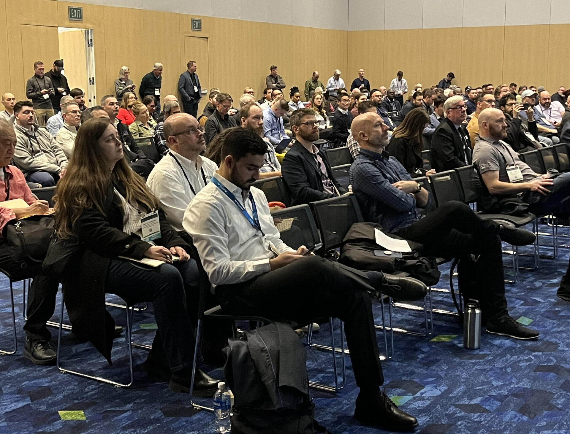
Beyond its technical depth, Geo Week has become an important gathering point for the geospatial and built-world communities. The event fosters strong peer-to-peer connections and cross-industry collaboration, creating an environment where insights are shared freely and new partnerships can take shape. Attendees consistently describe the networking experience as one of Geo Week’s greatest strengths, noting that it offers rare opportunities to meet colleagues from across sectors, exchange practical ideas, and engage in conversations that help shape the direction of the industry. It’s a place where the community comes together, relationships are built, and the momentum behind new initiatives often begins.
Learn more at https://www.geo-week.com/