By: Dawn Zoldi
At Geo Week 2026, a cross‑section of geospatial leaders took the stage to wrestle with the question “What will the next 10 years actually look like for this industry?” Moderator Carla Lauter guided the conversation with experts from the World Geospatial Industry Councilor (WGIC), GIS Surveyors, Inc., N|V|5, the National Oceanic and Atmospheric Administration (NOAA) and Woolpert, who pulled back the curtain on how AI, new sensor ecosystems and digital twins will continue to reshape practice, and what GIS professionals will have to do to keep up.
Data Onslaught to Decision-Grade Intelligence
The biggest shift of the next decade will not be the ability to collect more geospatial data, but the ability to turn it into “decision‑grade” information people actually trust. Andrew Brenner, Vice President of Solutions Engineering at N|V|5, who has spent decades applying geospatial data to natural resource management, noted that while the community has mastered capturing everything from rebar in concrete to fish in coastal waters, “our ability to collect data has far outpaced our ability to do meaningful things with that data.”
This drives a fundamental reframing of value. Instead of delivering datasets, geospatial teams will be judged on whether their outputs directly support specific decisions in infrastructure, climate resilience, supply chains and financial markets. WGIC Executive Director Aaron Addison called this a “trust conversation.” He emphasized that leaders now expect transparent methods and explainable models, not black‑box outputs dressed up as maps.
In practical terms, the next 10 years will reward organizations that:
- Design workflows around clear decision questions (e.g., “Do I mow today?” “Is this corridor at risk this season?”), rather than technology features.
- Invest in model validation, provenance tracking and clear documentation of how inputs become outputs.
- Package results in formats familiar to non‑geospatial stakeholders by tying maps, metrics, and financial impacts together.
AI as Workflow Engine, Not Magic Button

If the last decade was about getting geospatial into the cloud, the next will be about encoding geospatial expertise into repeatable workflows. Woolpert’s Global Director of AI and Innovation, Dr. Aaron Morris, a robotics Ph.D. and longtime digital twin and infrastructure AI specialist, described the shift as “codification,” training systems to perform the complex, multi-step tasks that used to require a team of specialists standing over someone’s shoulder, reverse engineering how they work
Yet several panelists pushed back against the fantasy of fully automated pipelines, at least right now. Dan Bellissemo, Director of LiDAR and Remote Sensing at GIS Surveyors, Inc., who oversees large‑scale LiDAR production said he cannot take a raw point cloud, run it through an AI system and deliver it to a client without extensive post‑processing and quality control in traditional software. The AI tools are “another tool,” not a replacement and still require experienced people to correct errors and enforce standards, he said.
Looking ahead, AI will most realistically reshape geospatial work in three ways:
- Acting as a conveyor belt in “information factories,” automating repetitive steps while human experts architect the pipeline and handle exceptions.
- Enabling “sensor amplification” by combining modalities (for example, using cameras to extend LiDAR’s effective range) to extract more information from existing collections.
- Assisting geospatial professionals as a learning and exploration layer. (Here, ironically, AI itself becomes one of the best tools to learn AI, Morris noted).
The organizations that benefit most will treat AI literacy as a core skill set, but also recognize that nothing about these tools is truly “easy.” The sales pitch may promise push‑button automation, but the reality will favor teams who understand model behavior, error patterns and how to integrate AI safely into production.
Sensors, Digital Twins and the Fight Against Silos

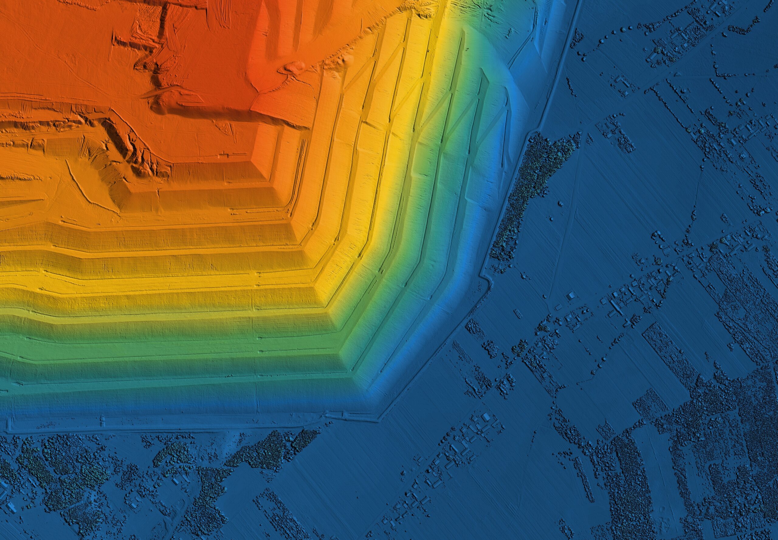
The sensor landscape is fragmenting and exploding at the same time. High‑density LiDAR, thermal and hyperspectral constellations, in‑vehicle perception systems and facility‑scale scanning are all becoming routine. Brenner argued that we are reaching a point where “you tell me what you want to measure, and I can tell you how you can measure it,” whether that is mapping the bottom of the ocean, monitoring fish or characterizing pavement structure at scale.
The real constraint involves institutional silos. Multiple panelists voiced frustration at having to re‑collect the same geographies for different clients and agencies who refuse to share data. Bellissemo described utilities using LiDAR only for vegetation management, when the same data could answer grid resilience, asset condition and safety questions. Those opportunities are missed when data is locked into single‑purpose workflows.
The next decade’s most important “infrastructure” may be:
- Enterprise‑wide data sharing frameworks that connect utilities, local governments and private operators.
- Common geodetic and spatial reference systems that allow disparate datasets to sit together without painful reconciliation.
- Operational digital twins that act as the integrating surface, allowing sensor‑rich, multi‑stakeholder environments, for ports, cities, distribution centers, to be modeled, updated and queried continuously.
NOAA’s Deputy Assistant Administrator for Navigation, Observations and Positioning and Acting Deputy Assistant Administrator for Coastal Zone Management Rachael Dempsey, who brings nearly three decades of Navy meteorology, oceanography and information warfare leadership to the role, underscored that none of this works without a modernized National Spatial Reference System (NSRS). Without a consistent geodetic frame, “those modern technologies like LiDAR and satellite imagery don’t sit together.” Advances in NSRS, slated for delivery later this decade, are intended to support centimeter‑level precision for everything from autonomous vessels to coastal resilience planning.
Communication, Capacity and the Workforce Squeeze

For all the technical potential on the horizon, several panelists returned to humans as the primary constraint. Most people outside the profession still do not understand what geospatial actually is, or why it matters. Dempsey said “eyes roll back” on Capitol Hill when she talks about geodesy and geospatial infrastructure, despite its centrality to navigation, disaster preparedness and national defense.
That communication gap has real consequences for funding, policy support and talent pipelines. Addison described a persistent mismatch between what higher education delivers and what industry needs. Curricula can take 18–24 months to approve, while commercial practice iterates multiple times per year. This results in graduates who are well‑versed in theory but unprepared for messy, open‑ended problems that don’t have right answers at the back of the lab manual.
Over the next decade, according to Addisoin, geospatial organizations will need to:
- Build structured mentorship programs that teach tolerance for ambiguity and real‑world problem solving, not just software operation.
- Treat lifelong learning as the baseline expectation, not a differentiator.
- Offer early‑career professionals diverse project and travel opportunities to allow them to accumulate experience “capital” quickly.
At the same time, Dempsey warned that agencies struggle now just to maintain legacy expertise, even as they attempt to stand up new programs and fund workforce development grants that are “a drop in the bucket” compared to demand. Expert roles remain in high demand, but entry‑level hiring is tightening in some large tech firms. This makes it harder to grow the next generation of specialists.
When asked what they tell people trying to enter the field, the panelists converged on a set of attributes that will matter more than any specific software or language. Key themes included:
- Spatial reasoning over tools: Understand spatial logic first; tools can be learned and will change, Bellissemo emphasized.
- Network and talk to everyone: The field touches policy, economics, science, agriculture and more. Exposure to those perspectives is what sparks opportunity, Dempsey argued.
- Get real‑world experience early: Internships, field assignments and applied projects reveal the kinds of “hard problems” no syllabus can simulate, Brenner noted.
- Stay flexible and willing to travel: Early career is the best time to accept challenging assignments and build a broad portfolio of work that differentiates you later, Addison advised.
- Use AI tools to explore what to learn next: Today as AI both reshapes work and serves as a learning accelerator, geospatial professionals who can combine domain depth with comfort in these evolving tools, will be able to explain their value to non‑experts and will be best positioned to thrive, according to Morris.
The next decade of geospatial innovation will not be defined by any single technology, but by how effectively the profession can connect sensors to decisions, data to trust and technical excellence to human understanding.