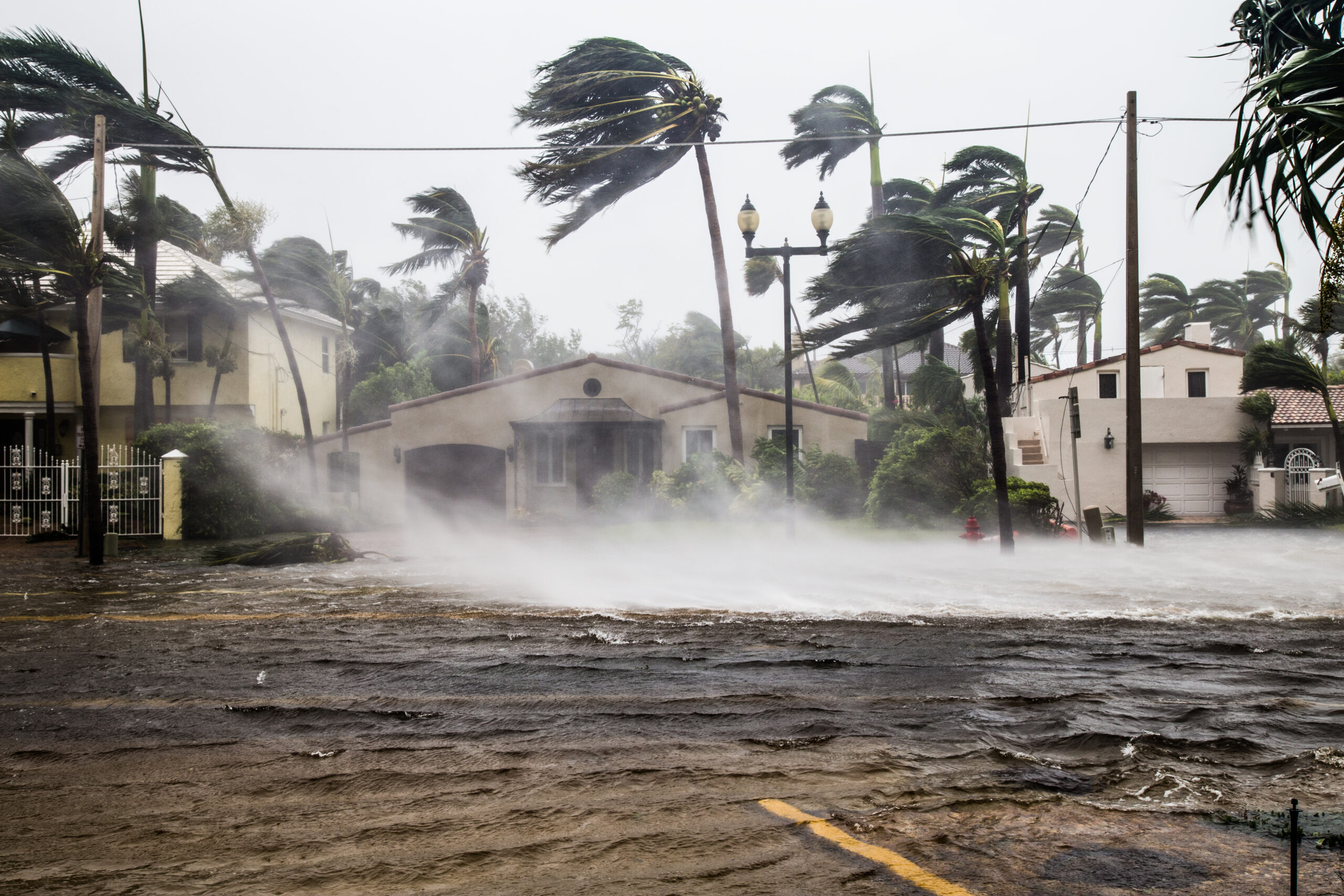
Each year, as the Atlantic hurricane season approaches, communities across Florida brace for the unpredictable. In Hillsborough County, home to Tampa and a vibrant coastal population, being storm-ready is not just a slogan—it’s a mission grounded in data, collaboration and innovation. The county’s Geospatial Services Division, represented by Sara Sillars, Applied GIS Manager, stands at the tip of the spear. Her team’s work, showcased at the Esri Safety and Security Summit (ES3), offers a masterclass in how Geographic Information Systems (GIS) continue to reshape hurricane preparedness and response for local governments.

The Role of GIS in Hurricane Preparedness
For Hillsborough County, GIS provides the backbone of hurricane planning and emergency management. Sillars and her team partner closely with Emergency Management to ensure that the most current and accurate geospatial data informs every decision, from updating evacuation zones and identifying critical infrastructure to planning resource distribution.
The foundation of Hillsborough’s hurricane readiness lies in its robust GIS datasets. These include detailed maps of evacuation zones, shelter locations, critical facilities and transportation routes. According to Sillars, the Geospatial Services Division conducts annual updates and regular reviews to ensure that the data reflects new developments, infrastructure changes and lessons learned from past storms.
Among the county’s notable products, the evacuation and shelter map stands out as a highlight of the county’s commitment to public engagement and transparency. Included in the county’s Annual Disaster Planning Guide, they distribute it to the public each year. This map displays shelters, evacuation zones and routes to offer residents a clear, accessible resource for storm planning.
Web Applications: Meeting the Public Where They Are
Recognizing the importance of digital access, Sillars’ team has developed a suite of web applications designed to empower residents before, during and after a hurricane. Some of the most popular include the evacuation zone lookup and shelter finder apps. These tools allow users to input their address and instantly determine their evacuation zone or find the nearest shelter, complete with driving directions.

Sillars recounted that a key lesson learned from the previous hurricane season inspired the development of the apps. “We have a WebApp Builder, and called our HEAT tool—our hurricane evacuation assessment tool—but it kept crashing because the web traffic was so high,” she recounted. “So we deployed these (Instant Apps) as a necessity last year, separating out the web traffic. It was successful, and we had no issues with either of them crashing,” she said.
- Evacuation Zone Lookup: https://arcg.is/1zG9z01
- Find My Nearest Shelter: https://arcg.is/0TrGOC0
This adaptability ensures that critical information remains accessible when demand peaks, often in the tense hours before a storm’s arrival.
Supporting Emergency Response and Recovery
GIS is not only vital for preparation but also for response and recovery. After Hurricane Idalia in 2023, neighboring Lee County experienced severe flooding and lost access to some helicopter landing sites. Hillsborough’s Emergency Management, learning from this, asked the Geospatial Services Division to preemptively identify alternative landing locations within the county. The analysis, initially attempted with automated suitability tools, ultimately required a manual approach due to the nuanced criteria involved. “There’s an opportunity to automate this,” Sillars observed.
The division also maintains a damage assessment dashboard, which became critical after recent storms. By integrating data from field surveys, the dashboard enabled rapid assessment of storm impacts, which expedited disaster declarations and resource deployment. “That was a very important application,” Sillars emphasized.
Advanced Mapping: 3D Storm Surge and Floodplain Analysis
Pushing the boundaries of GIS, Hillsborough County has developed advanced 3D mapping tools to visualize potential storm surge inundation. Using surge height data combined with high-resolution LiDAR elevation models, the team created interactive maps that allow emergency managers and other county departments to see which buildings, bridges and roads could be affected by different storm categories.
On the right-hand side of the application, users can view real-time counts of affected buildings as they pan around the map. Pop-ups provide additional information, such as building height and water elevation for detailed evacuation and post-storm recovery planning.
The county also offers a FEMA flood zone lookup tool, developed in collaboration with the county’s floodplain administrator. This application is regularly updated as new FEMA data becomes available and supports a range of departments, from emergency management to stormwater services.
Internal Coordination and Knowledge Management
During hurricane activations, information flows rapidly between departments. To keep pace, Sillars’ team created an internal Hub Site to track GIS solutions and resources. “Originally, we tried to manage all of this information in ArcGIS online groups,” Sillars shared, “but when we get activated, a lot of personnel either never use GIS or rarely use it. They’re not familiar with navigating the groups to find the content they need.” The Hub Site’s streamlined layout and ease of use have made it a staple for both year-round operations and storm activations, including in pre-season training.
Collaboration: The Key to Success
Hillsborough County’s GIS success is rooted in collaboration—both within the county and with external partners. Sillars’ team works closely with the Southwest Florida Water Management District, sharing data such as rain gauge readings and land use information. Professional services from Esri and other vendors help the county stay at the forefront of GIS technology, from addressing solutions to deploying utility networks.
The division’s enterprise approach, moving beyond public works to serve all county departments, has fueled rapid adoption and innovation. “Once we started promoting ArcGIS online and getting out the analysis we can do, it exploded,” Sillars recalled. “Every department wanted to use it, and they actually did a reorg to move us outside of public works and into IT so we could be more of an enterprise group.”
Lessons Learned and Evolving Strategies
Hurricane seasons are never static, and neither is Hillsborough’s approach. After each major storm, the county conducts assessments to identify infrastructure failures and prioritize repairs before the next season. Public works, for example, used GIS to pinpoint areas where flooding was exacerbated by infrastructure issues and to plan targeted improvements.
Sillars’ team also constantly refines its field data collection. After experimenting with different platforms for damage assessment—including Crisis Track and Survey123—they decided to consolidate all forms into a single data layer to streamline analysis and reducing the need for manual spreadsheet work.
Future Directions
The county continues to explore new ways to leverage GIS for public safety, including potential tools to help track and assist residents who remain behind despite evacuation orders. Another area of growth includes cross-county collaboration. “We have started collaborating a lot more with our neighboring counties, especially the GIS departments,” Sillars noted. Sharing best practices and aligning on tools like damage assessment platforms enhances regional preparedness and response.
The Human Element: Institutional Knowledge and Teamwork
A dedicated team of professionals form the heart of Hillsborough’s GIS program. Sillars attributes much of their success to institutional knowledge. “Our team has developed a lot of institutional knowledge, and I’m really lucky I don’t have a lot of turnover in our group,” she said. This stability allows the division to build deep relationships with other departments and continually improve their workflows.
Sillars’ advice to other GIS specialists is simple: “You just have to meet with the customer and walk through their processes. We map out a lot of workflows, and sometimes we go sit side by side with them to figure out what they’re doing.” This hands-on approach ensures that GIS solutions are tailored to real-world needs, not just technical possibilities.
The Calm in the Storm
As Florida faces another hurricane season, Hillsborough County stands as a model for how local governments can harness GIS to protect lives and property. Through diligent data management, innovative mapping applications and strong collaboration, Sara Sillars and her team provide a harbor in the storm, if you will, for the Tampa Bay region.