By: Ray Adams,* AG Contributor
As the FAA’s Part 108 rule for beyond visual line of sight (BVLOS) drone operations moves toward implementation, it’s clear that advanced cooperative technologies like ADS-B will play a role in traffic management. Yet, if there’s one inescapable lesson from decades of air traffic control (ATC) and the recent surge in GPS spoofing events globally, it’s this: GPS-dependent, cooperative surveillance technologies cannot shoulder the burden of separation and “well clear” determinations alone. For the safe integration of drones in our national airspace, especially in high-density and complex urban environments, robust, independent surveillance like radar must become a foundational element…not just an afterthought.
Part 108 and the Use of ADS-B for Separation
The draft Part 108 rule lays out the requirements for BVLOS drone operations under different risk and density categories. For the highest density and most complex environments, such as urban settings and areas near busy airports, the rule contemplates the use of cooperative technologies like ADS-B and other networked awareness tools to enable separation from crewed aircraft and compliance with “well clear” standards. In practice, these systems allow a drone or its operator to see and avoid other airspace users using data broadcast cooperatively by aircraft.
However, Part 108 leaves broad latitude, especially for Category 5 operations, by not mandating ADS-B on drones and instead allowing the use of “ADSB-in” on ground systems or UTM platforms to boost situational awareness. The rule encourages a layered, risk-based approach, leveraging cooperative systems wherever possible. But therein lies a critical gap: the rule does not require independent correlation of these cooperative signals, potentially leaving operators with “uncorroborated” positions for separation.
What Is ADS-B and Its GPS Foundation?
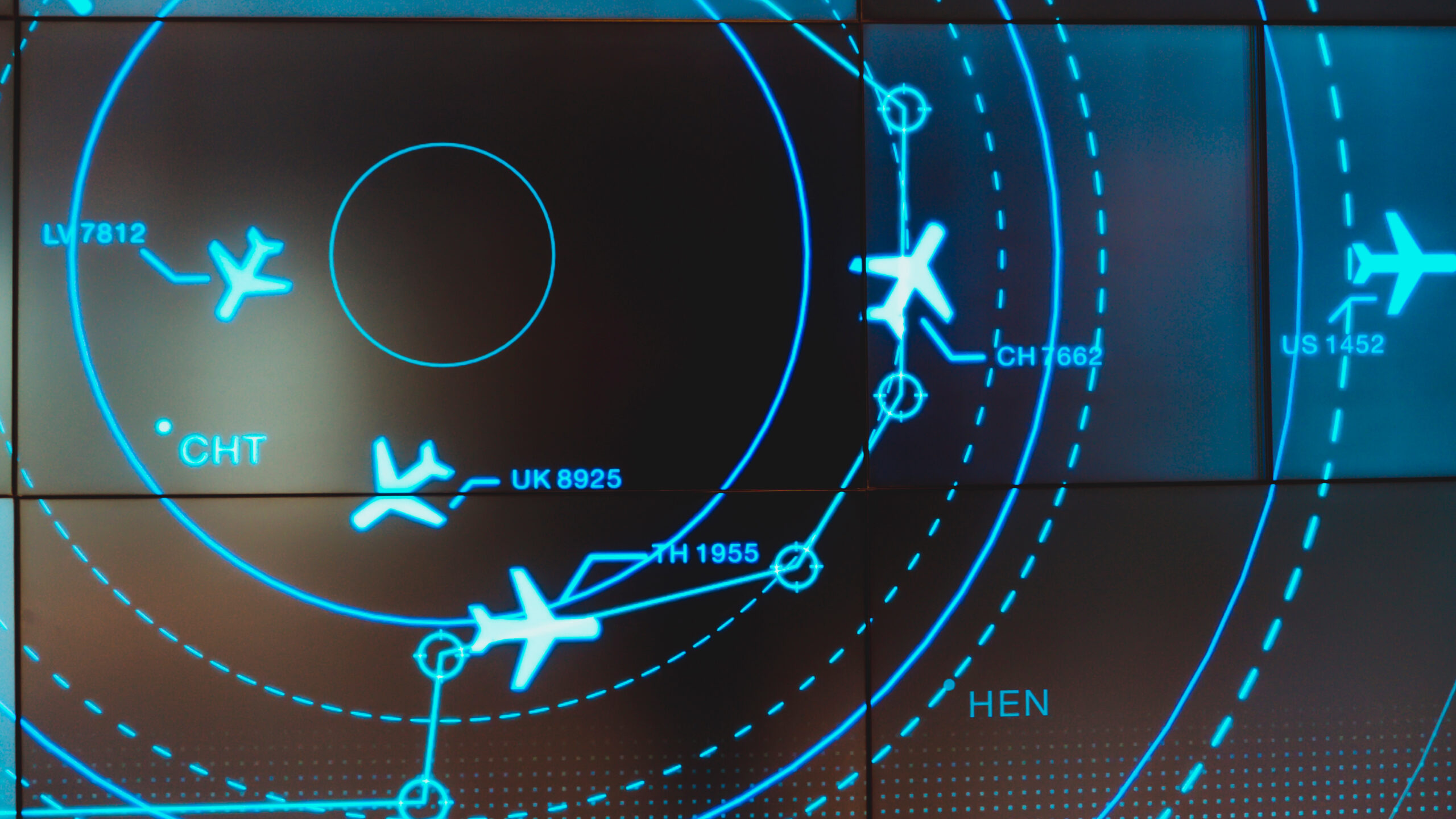
ADS-B, or Automatic Dependent Surveillance–Broadcast, is a cornerstone of modern air traffic surveillance. It continuously broadcasts aircraft position, velocity and identification information, derived from onboard GPS receivers, to surrounding aircraft and ground stations. This system has revolutionized situational awareness and enabled more efficient traffic flows in the crewed aviation world.
But ADS-B’s accuracy is only as good as the underlying positional source, which is overwhelmingly, GPS. If the GPS data is compromised, either through technical error or hostile interference, the broadcast position becomes, at best, unreliable and, at worst, dangerously misleading. As Part 108 leans into ADS-B and similar cooperative tech for BVLOS drone separation, this dependence on GPS integrity is its greatest liability.
Mounting Evidence: The Vulnerability of GPS
Recent findings in the 2024 OPSGROUP GPS Spoofing Workgroup report highlight a disturbing trend. While civil aviation has always faced intermittent GPS interference, the last year has seen a surge in sophisticated spoofing, incidents have climbed from 300 flights per day in early 2024 to 1,500 daily by August, and over 41,000 spoofed flights in a single month.

As the report explains, “GPS spoofing began to severely impact civil aviation in September 2023… By August 2024, this had grown to around 1,500 flights per day. Most recently, for the one-month period from July 15 – August 15, 2024, a total of 41,000 flights experienced spoofing.”
These events are not theoretical, nor are they limited to war zones. Commercial aviation is regularly affected, and there is nothing technologically unique, or protective, about the less expensive GPS units found in UAVs.
Spoofing attacks deceive GPS receivers into reporting false positions, times and velocities. This corrupted data then flows into Flight Management System (FMS), Ground Proximity Warning System (GPWS), weather radar and, crucially, is rebroadcast through ADS-B.
The OPSGROUP report issues a stark warning: “ADS-B relies completely on GPS position to broadcast the aircraft position… A false ADS-B position may be broadcast. In this case, ATC may observe a position difference between ADS-B-Out position and airplane position on primary and secondary radar.” In the absence of radar or other independent checks, these errors propagate undetected, creating “ghost” aircraft or missing traffic blips, which directly threaten separation and collision avoidance systems.
A recent, disturbing GPS spoofing attack on a British Airways flight from the UK to Japan overflying South Korea where the GPS & ADS-B reported the Boeing 787 as being over North Korea is a very serious example of the poor resiliency of cooperative positioning without independent validation.
The Domino Effect of GPS Degradation
The risks of overreliance on GPS-based systems cascade throughout aviation. When GPS is jammed or spoofed, aircraft can lose precise navigation, degradations in Required Navigation Performance (RNP) and approach capabilities are common and ATC may need to revert to traditional radar vectoring, often unaware of the full extent of the navigation failure until it manifests as a situational crisis.
As OPSGROUP summarizes: “Both GPS Spoofing, and GPS Jamming, render the aircraft GPS receiver unusable. Whether in a failed state due to jamming, or a contaminated state due to spoofing, the receiver can be described as simply being not available.”
False positions broadcast via ADS-B can lead to operational errors, unexpected flight path deviations, lateral and vertical separation loss and uncoordinated climbs. All of these severely strain traffic management systems and flight crews.
The Air Traffic Control Playbook: Why Radar Matters
Decades of ATC practice offer a key principle: reliable surveillance requires independent, non-cooperative confirmation of aircraft position. In controlled airspace, radar does not “ask” the airplane where it is, Instead, it independently “sees” and tracks every target, verifying or flagging discrepancies with any onboard data. For separation and safety-critical tasks, this independence is not optional. It is vital.

The current draft Part 108 treats cooperation-based surveillance as sufficient, so long as “well clear” distances are algorithmically maintained using data feeds. But from the controller’s chair, all cooperative technologies are basically the airplane telling you where it is. From my decades of experience in ATC, we don’t rely on that alone. We use cooperative surveillance inputs as supporting systems. The system that we use, radar, actually locates the aircraft and then correlates its position. Without independent sources of truth, system errors, spoofing or misconfigurations become invisible until a near-miss or worse.
For drone operations in low-altitude, high-density or complex airspace, where risk is greatest and intent is often ambiguous, the case for deploying radar, multilateration or other independent surveillance is overwhelming. In my opinion, these layers are not luxuries but a prerequisite for scalable traffic management.
Radar Infrastructure: The Minimal Viable Solution
Leading industry voices like John Eberhardt of ATA are championing a pragmatic, risk-tiered approach to deploy “minimal viable infrastructure” that includes ground-based radar in higher-risk airspace. In Eberhardt’s vision, this doesn’t mean wall-to-wall radar coverage everywhere, but smart, layered deployment tailored to operational demand and risk.
Having radar in these environments provides several key benefits. Not only does it corroborate or refute cooperative signals and expose drift due to spoofing, but it also forms the bedrock for robust conformance monitoring, the ability to independently assess whether aircraft are where they’re supposed to be and match intent with real-world positions. When “hard” (radar) and “soft” (cooperative) surveillance start to diverge, operators can immediately detect a system failure or spoofing event. They can then prevent the error from propagating downstream.
Overcoming Hurdles: Funding, Planning and Coordination
Admittedly, deploying and sustaining such ground infrastructure is not trivial. Funding, local government buy-in and inter-agency planning present hurdles. But these are all surmountable, in light of the safety imperative. Solutions might range from shared infrastructure to public-private partnerships, coordinated build-out within UAS traffic management (UTM frameworks) and standards that prioritize high-traffic corridors or urban nodes first.
Importantly, any refinements to Part 108 must leave room, and ideally create incentive, for state and local governments, UTM service providers and private industry to build the surveillance backbone needed for safe, long-term integration. This is not just about regulatory compliance. It’s about setting the technical groundwork to ensure that complex BVLOS operations are as safe as traditional crewed aviation.
A Call to Action: Demand a Robust, Multi-Layered Airspace
Ultimately, the integration of drones into busy, low-altitude airspace brings unprecedented opportunities and serious risks. To be clear, as written, the current Part 108 rule does not mandate unsafe practices. But it does not yet fully recognize the scale of the threat posed by overreliance on GPS-based, cooperative surveillance like ADS-B in the age of jamming and spoofing.
Now is the time for the industry, operators, municipalities and the flying public to engage with the Part 108 public comment process. Demand refinement. Encourage the FAA to codify the requirement for independent, radar-based or equivalent surveillance in complex environments. Safe, scalable UAS BVLOS operations demand nothing less than an airspace built on systems that don’t just listen…but verify. For America’s airspace to remain the gold standard, we cannot settle for less than safe.
*Raymond Adams is a retired FAA air traffic controller with over 35 years of aviation domain experience. He is Founder and CEO of Trajectrix Corporation which focuses on the integration of large UAS into the National Airspace System, and the Founder of Airde Elevated Thinking, which provides aviation engineering services to the FAA and other government and private customers. He brings hands-on expertise across radar and non-radar operations, terminal procedures, aircraft performance, regulations, and advising public- and private-sector partners on practical safety and integration strategies.