By: Dawn Zoldi
States across America increasingly integrate drones into their workflows for infrastructure management, to deliver efficiencies, insights and safety improvements previously unimaginable. At the recent Tennessee Drone and Advanced Air Mobility (AAM) Summit, experts from several transportation departments and tech companies offered a candid look at how drones have impacted public works. The panel included J.D. D’Arville (UAS Program Administrator, Alabama DOT), Brandon Webb (Geodetics Lead, Tennessee DOT), and Cole Martz (Unmanned Regional Sales Manager, Frontier Precision). Take note, because their stories and lessons provide a roadmap for agencies pursuing success with unmanned systems.
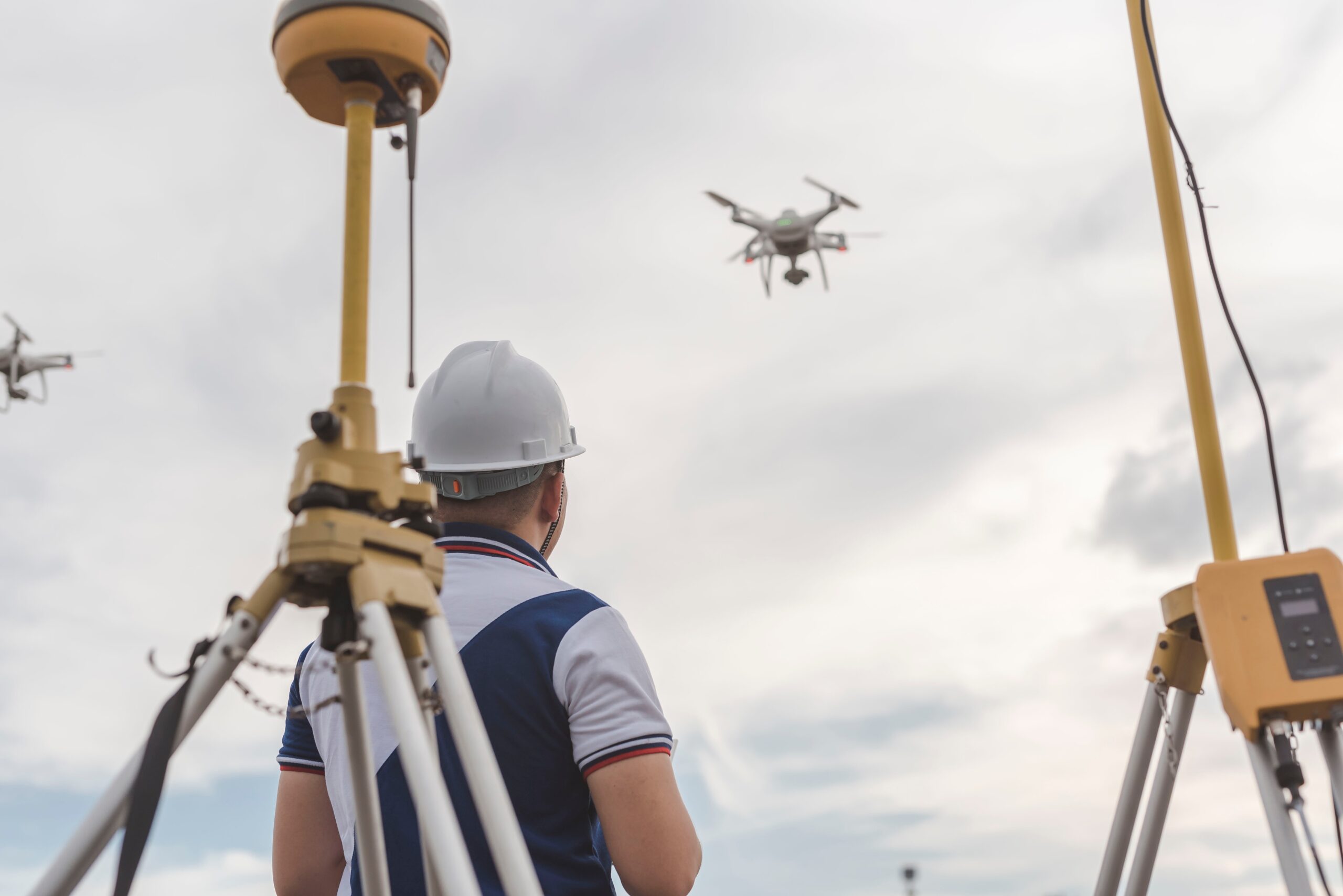
Drones in Infrastructure: From Pilot Projects to Everyday Tools

A decade ago, even the earliest forays by state DOTs into drone use experimentally focused on modest aerial surveys or one-off mapping jobs. Most small teams experimented in silos, followed by rapid adoption and cross-departmental integration. “Back in 2016, we started doing research flights for small surveys, then expanded to using drones for more complex projects,” explained one DOT expert. “By 2018-19, we were reaching out to other divisions, teaching them how to get actionable data from their inventories.”
This cross-pollination has fueled a surge in applications, from photogrammetry and LiDAR mapping to complex 3D modeling for construction, maintenance and emergency management, not just in Alabama but in other states. “The collections we can do now versus ten years ago are so far advanced,” noted Martz. He explained that Frontier Precision facilitates DOTs in performing everything from runway assessments to vegetation encroachment studies, all with drone-based sensors and software.
Unmanned systems have also proven agile tools during emergencies. Whether helping assess hurricane-damaged bridges or mapping hazardous material spills, drones have become “force multipliers” for DOTs. Rapid deployment, paired with flexible data capture, enables agencies to respond faster and more safely than ever before.
“Training and preparation for these ‘gray-sky’ moments is what sets effective teams apart,” Martz advised. “We routinely simulate disaster scenarios, practice airspace waivers and ensure our crews know who to call for clearances. Preparation equals smooth execution when the pressure is on.”
Hardware Headwinds: From DJI to “Buy American” and Beyond
For public agencies, the rapid advancement in drone technology has been both an opportunity and a challenge, especially as federal regulations tighten around equipment sourced from Chinese manufacturers. Sweeping restrictions stem from FCC and NDAA guidance.

“In November 2023, we had to get rid of all our DJI drones and procure alternatives within six months,” said Webb. “We learned a lot of lessons in those six months on what not to purchase. The U.S. market has gotten a lot better since then, but it set us back about five years technologically, and cost-wise.”
Martz added that while the transition away from Chinese systems is gaining momentum, it requires deliberate planning. “For our federal customers, anything with federal funding can’t use Chinese products. But American drone technology has improved drastically, and the transition isn’t as daunting as people might think,” he shared. A recurring panel motto: “Do your homework, take your time and involve your flight crews in decision-making.” That includes flight testing in the relevant operational environment. In the end, operational needs and user input must drive procurement, not just compliance.
Data-Driven Decisions: Turning Aerial Insights into Action
The true value of drones in infrastructure lies in the data they deliver. Robust image capture solutions, LiDAR scanners and multispectral payloads have become standard for leading programs. That said, speakers emphasized that results hinge on knowing how to use them, and how to verify accuracy.
“The biggest mistake is unrealistic expectations, trying to reach too far, too fast, or deploying pilots without adequate training on new systems,” warned Martz. Webb echoed this sentiment. “If you’re going out there and doing survey missions without ground control, your data is useless. Always validate your results,” he said.
In software, teams praised the flexibility of solutions like SiteScan, gNext and various agnostic modeling platforms that allow integration with existing GIS and project management tools. “The great thing about drones is most are pretty agnostic to whatever software you have,” said Martz. “You need to fit your workflow, but also rigorously test for performance, integration and accuracy before committing to a platform or vendor.”
Real-World Lessons and Avoiding Pitfalls: Common Mistakes and How to Sidestep Them

Every new technology wave creates room for missteps. For state UAS leads, the biggest errors stem from rushing the adoption cycle and underestimating complexity. “Don’t rush a new drone or new pilot onto a mission. The learning curve is real, and it’s better to move methodically than risk an accident, or bad data,” said Webb.
D’Arville emphasized the importance of clearly defining and thoroughly testing accuracy standards, particularly for surveying missions. “Anyone conducting a survey mission without ground control points and proper validation shouldn’t be out there. Accuracy is everything,” he concluded.
Panelists also offered these specific, actionable tips from the trenches that anyone looking to scale up a drone program should heed:
- Prioritize Safety: .Drones enhance worker safety by minimizing exposure to hazardous environments.. D’Arville summarized, “The safety benefit is real. Keep traffic moving, capture your data and keep your people out of harm’s way.”
- Invest in Training: A common pitfall is sending undertrained pilots into complex missions. “Take your time with new people and new systems. Give them all the flight time they need before hitting the field,” urged Martz. Mandatory proficiency checks, routine crash simulations, and ongoing workflows for skill development are vital.
- Maintain Your Fleet: The panel cited routine maintenance, not just on airframes, but batteries and software, as a make-or-break factor. “If it’s been sitting on a shelf for six months, it may not function as expected. Test cycles, update everything and never go into the field without spares,” the panel agreed.
- Partner Up: Perhaps the most enduring lesson from the field, partnerships across agencies, with vendors, and within the drone community itself, add significant value.
“Work with professional partners, listen to their advice, ask for trials and demos and lean on your colleagues for best practices. No one has all the answers alone,” said Martz. The panelists also encouraged agencies to participate in professional networks like the Energy Drone & Robotics Coalition, which can help teams stay ahead of trends and avoid reinventing the wheel.
Drones as Catalysts for Resilient Infrastructure
Drones have changed the way DOTs do business. The Tennessee Drone and AAM Summit panel illustrated how drones have become essential infrastructure assets. As DOTs overcome regulatory hurdles and technical transitions, the agencies that test, iterate and share lessons will continue to drive the sector forward. For the infrastructure sector, it’s time to lean in, collaborate, and shape the future together. And for any agency seeking to launch or expand a drone program, the advice is clear: start small, learn fast, validate everything, and above all, keep your people, on the ground and in the air, safe.