By Dawn Zoldi
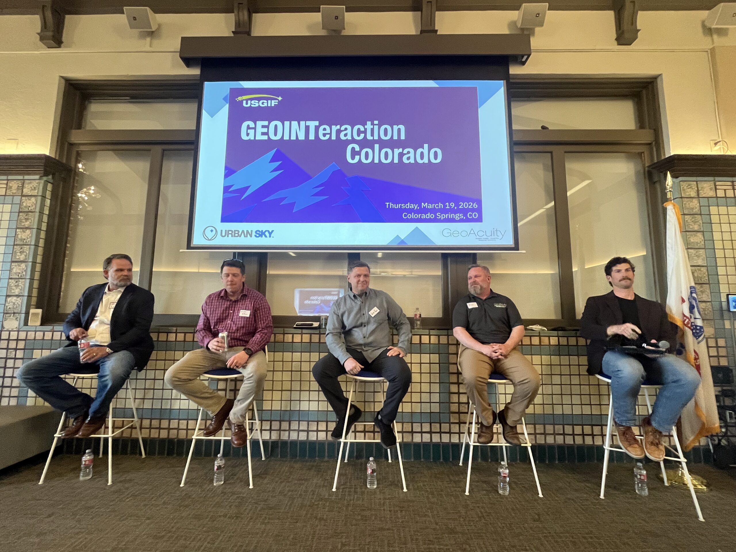
At a recent USGIF GEOINTeraction Colorado event* in Colorado Springs, three Army GEOINT professionals—two active‑duty, one retired and now a senior Army civilian—sat alongside industry leaders to talk about modernization and geospatial intelligence (GEOINT). Their stories made one thing clear: the Army’s future on the digital battlefield depends as much on roll‑out mats from World War II and $56 fish finders as it does on drones, AI and enterprise clouds.
Modernization, Not Amnesia
Ask ten people what “Army modernization” means and you might get ten different answers. The panelists agreed that it cannot simply be an “intentional departure” from the way the Army has always done business. Instead, modernization is about optimizing time‑tested tasks with modern data science, transport and compute, without forgetting the basics.
Today, GEOINT teams can push torrents of data down to the edge. But that often leaves soldiers drowning in a digital haystack instead of receiving the one needle they actually need. Modernization, in this view, is about delivering decisions, not just data. It’s about framing the battlespace in ways that give a competitive advantage to an infantry squad leader who neither knows nor cares how to co‑register imagery, and only needs to know that only that the map is right.
Yet buzzwords and budget lines have warped the conversation. One panelist flatly described “modernization” as a catchphrase that sometimes feels more about chasing money than fixing operations. The real work is getting intelligence to the “trigger puller” faster, at scale and with enough resilience that a division, not just a Special Operations task force, can rely on it.
Buckets of Data, Needles of Truth
On paper, the Army is rich in GEOINT. Space‑based constellations, exquisite aerial programs and proliferating low‑cost sensors feed siloed repositories at every echelon. In practice, that abundance becomes a liability when standards lag, schemas sprawl and systems cannot talk to each other.
Panelists described years‑long efforts to refine data models that were obsolete by the time they were ready for prime time. One government program leader quipped that they have spent “800 years” working on a schema with every imaginable attribute, only to find it nearly unusable in the hands of a soldier who needs something simple, live and relevant.
Kyle Ellis, Director of Operations at California Denver-based GeoAcuity and a former Army all‑source intelligence technician, pushed hard on this point. “We’ve got 100 fields or a thousand fields; eight of them are filled out,” he said. Machines, he noted, will only be as good as the formats they can interpret. “We’ve got to have standards. But we need to make sure those standards make sense, that they’re logical and current and that they align with the intended end users.”
Fishing Poles, GoPros and Roll‑Out Mats
The most vivid moments of the discussion were not about GIS or AI at all. They were about fishing poles.
Engineer units tasked to assess whether a river can support a bridge do not reach first for satellites or high‑end bathymetric lidar. Instead, one program of record issues soldiers an off‑the‑shelf fish finder and a cheap rod and reel. They cast across the river, read the handheld display for depth and bottom type, then reel it back in to collect the key data points they need in minutes.

As one panelist put it, “As a taxpayer, I’m super proud of this solution.” A thousand‑dollar robot could do the same job. So could a classified sensor. But a $56 consumer device works, is easy to train and is resilient to comms outages and network failures.
That theme continued with imagery. While the Army experiments with advanced vehicle‑mounted lidar, the same kit might also include a basic action camera. The “ask” of industry from the government side was blunt: help us extract usable information from the $600 camera, not just the $60,000 sensor.
Then there was the story that felt like deja vu all over again. In a futures workshop, researchers and soldiers were told to imagine technologies for 2040 and to solve the “impossible” task of moving tons of equipment onto a beach, undetected. One participant dreamed up a rollable mat, pushed ahead of the landing craft, to cover mines and obstacles and create a safe lane. A senior engineer in the room laughed. The Allies used almost exactly that during the Normandy landings. The “2040 solution” was simply a repackaged World War II idea. The anecdote captures the tension at the heart of GEOINT modernization. In the rush toward AI and autonomy, the Army must remain vigilant so as not to forget proven methods that still work.
Avoiding the Idiocracy Moment
The panelists repeatedly returned to a cautionary tale. In 2003, during a National Training Center rotation, a “digital division” arrived determined to run completely on networked systems. Early in the exercise, someone disabled a generator. The division command post went dark. No one had packed acetate or markers. For a period, the division literally could not fight because the tools it relied on had disappeared.
Fast‑forward to today. Geospatial units are fielding AI and machine learning tools that promise “click button, get answer.” Some soldiers have become so dependent on automated workflows that senior GEOINT NCOs now ask them basic questions: Do you know where that answer came from? Do you know what elevation data is? Can you do this manually?
The fear is an “Idiocracy moment” on the battlefield: a future where soldiers stare helplessly at dead screens because no one remembers how to operate without them.
Ellis framed the way ahead as a culture shift, not just a technology upgrade. Drones, edge compute and enterprise clouds will fundamentally transform planning and execution in the next five years, he believes, but only if the Army builds a true “spatio‑temporal environment” that works from squad to division and trains humans to understand what they are seeing.
Trust, Transparency and the Hype Trap
Data may be the fuel of modern war, but trust is the oil that keeps the engine from seizing. Trust is where industry often falls short.
Service members in the room described a steady parade of vendors promising “game‑changing” AI and other technologies. Years of overpromising and under‑delivering have made units wary of even talking to small businesses. When lives are on the line, operators want proof, not pitch decks.

Ellis acknowledged the structural problem. To win programs, companies feel compelled to claim their tools solve dozens of use cases, even when the real value lies in doing one thing extremely well. That behavior feeds skepticism at the edge.
The panel offered a different model for industry:
- Be an honest broker. Clearly state what your system does, and just as clearly, what it does not do.
- Design for the edge. Assume the user does not have perfect bandwidth, training or time. The interface must be simple, resilient and “watertight.”
- Expose the “how.” Soldiers and commanders need to know the provenance of data and the logic behind outputs, whether that comes from an analyst or an algorithm.
- Embrace “trust but verify.” Build workflows and visualizations that make it easy to cross‑check AI outputs with reality.
Trust, once lost, is brutally hard to regain. A helicopter pilot who flies into a power line because of a bad landing zone analysis may never use that tool again. A squad leader burned by a faulty route recommendation will revert to paper maps and intuition.
A Call for Balanced GEOINT
The GEOINTeraction Colorado discussion highlighted that Army modernization in geospatial intelligence is not a binary choice between analog and digital. It is about the right tool, at the right echelon, for the right problem, whether that is a drone swarm feeding an enterprise cloud or a private with a fishing pole on a cold river.
As the Army pushes toward an AI‑enabled, sensor‑saturated future, its GEOINT enterprise will succeed or fail on balance between exquisite and low‑cost sensors, global repositories and local caches, automation and tradecraft, and above all, innovation and humility. The past cannot be relegated to dusty history books that no one takes off the shelf. Sometimes, the “next‑gen” answer may look a lot like a roll‑out mat on a hostile beach.
For industry, the message from Colorado Springs was equally clear. Give our warfighters less hype and more honesty. Build standards that live, systems that explain themselves and tools that work when the power goes out. The Army does not just need new technology. It needs technology it can trust, understand and, ironically, still fight without.
*GEOINTeraction Colorado is an event presented by USGIF, a nonprofit dedicated to advancing the GEOINT tradecraft in the interest of national security. The USGIF Front Range Community (FRAC) of Interest organized the event. Learn more about the upcoming USGIF annual GEOINT Symposium, May 3-6, Aurora, CO here.