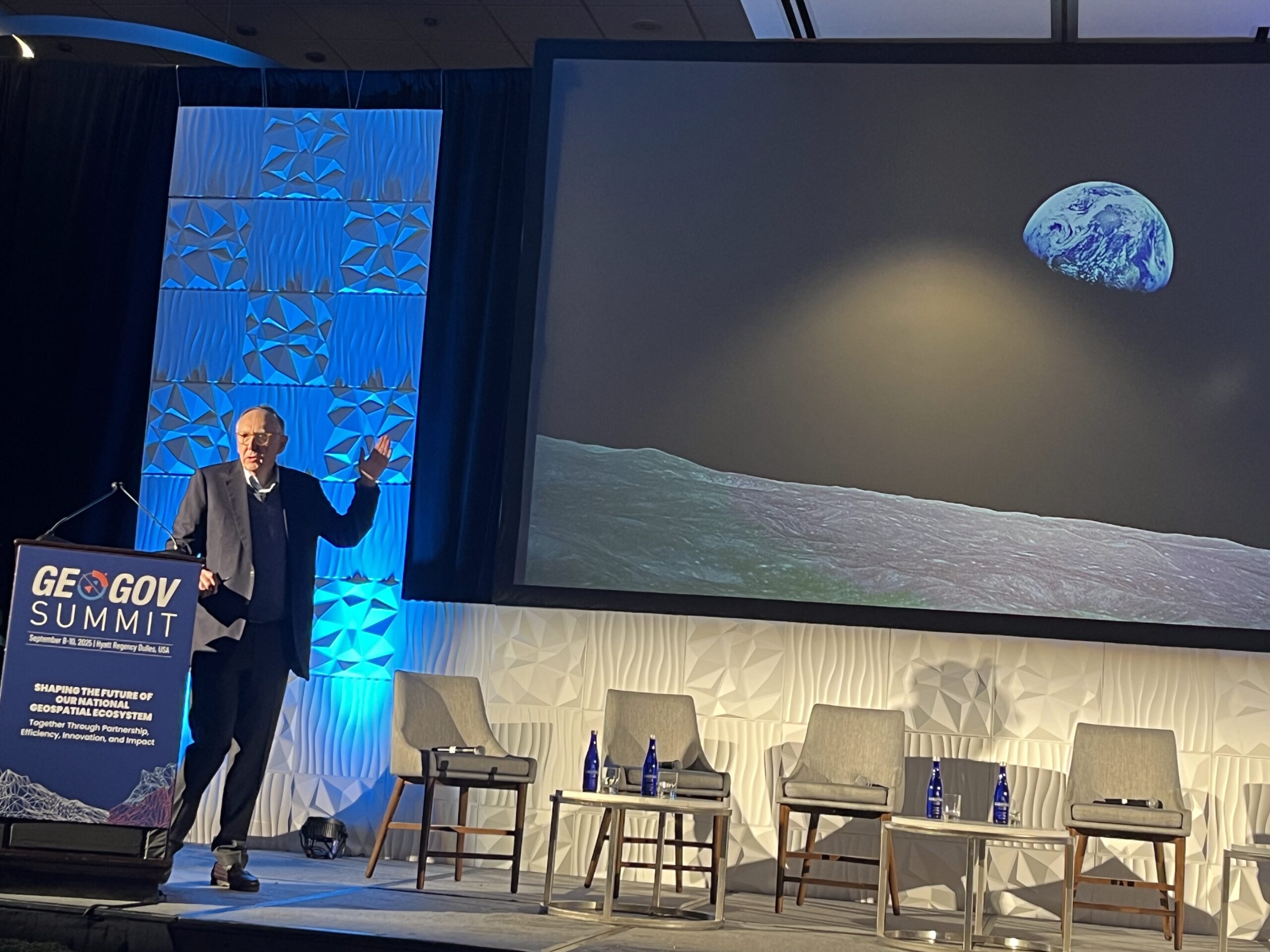
By: Dawn Zoldi
Maps help us understand, manage and shape our world. At this year’s GeoGov 25 Summit, Sanjay Kumar, CEO of Geospatial World, and Jack Dangermond, President of Esri, delivered insights that underscore why, in Dangermond’s own words, “geography is everything—it organizes everything.” Their discussion traced the evolution of mapping from static representations to dynamic, integrative tools that drive decision making, scientific discovery and collective problem solving across every industry and layer of modern society.

The Evolution of Maps: From Data to Knowledge Infrastructure
According to Kumar, the progress of mapping technology has shifted geospatial data from a basic infrastructure into a true knowledge infrastructure. The digital revolution in geospatial technology has delivered maps to every corner of society, enabling vast collaborative ecosystems. Integrated geospatial infrastructures now act as the nervous system of information for a digital planet, offering seamless access and analysis across government, industry and communities. This transformation positions mapping systems as foundational in everything from policy and governance to daily business decisions.
Maps as the Foundation for Solutions
Dangermond echoed and expanded on these themes. He emphasized that maps are more than just tools. They are the language of science. “Geography is everything. It measures everything. It organizes everything. And it also provides us a kind of scientific lens for seeing and integrating and acting. Maps are the language of that science,” he asserted.
He explained that the roots of maps stretch back over five thousand years and traced the lineage of maps as instruments not just of navigation and analysis, but of storytelling, collaboration, and problem-solving. According to Dangermond, billions of thematic maps are created each day, not simply to navigate but to answer questions, visualize risk and communicate urgent realities like climate change, public health or urban planning. “They’re telling stories to everyone. They’re lifting the understanding of our world… maps and geography are not new in our world. They have always been a kind of instrument of understanding,” he said.
Digital Integration: The Nervous System of Modern Society
Both Kumar and Dangermond highlighted spatial computing and digital integration as pivotal trends that have made maps intrinsic components within the workflows of critical industries. As geospatial data is embedded in transportation, energy, health, and education, maps enable organizations not just to observe the world, but to manage it actively and responsibly. The digital twin, Kumar noted, has become an essential pillar in understanding the world. “All the data is coming to your digital atlas…a digital twin of living things,” Kumar explained.

This drive toward integration is visible in the fusion of systems. Weather, financial, planning and infrastructure data all converge into interoperable frameworks. Cities like New York demonstrate this by linking engineering, fire, police and planning data to create holistic solutions. In Dangermond’s words, “GIS, in fact, is abstracting our world… This provides us a framework for integrating and thus that integration of science and the cross-cutting nature of that integration is advancing science in terms of our understanding, the relationships and the patterns, processes, forecasting and predicting,” he said.
Linking Science to Action: Collaboration as Imperative
Modern mapping goes far beyond visuals. They now operationalize science for collective action. Both Kumar and Dangermond stressed that achieving sustainability, resilience and progress requires collaborative geospatial frameworks where maps serve not as ends, but as means for coordinated response.
Compliance, productivity, efficiency and inclusive development all depend on mapping. Compliance, Kumar observed, “is very important. The geographical approach or the visual information system, which we have, can help you monitor the compliance.” Maps thus enforce standards and empower industries responsible for sustainability.
Dangermond made the point explicit: “The future [is] linking science to action so that we can integrate activities that humans do with scientific foundations and lenses that help us understand and make those decisions in an accelerated way.” This fusion is more urgent than ever, he noted, as changes occur rapidly due to climate emergencies to urban growth.
The Accelerating Landscape: Agents, AI and New Frontiers
Geospatial technology’s future resides in intelligent integration and automation. Dangermond introduced the growing role of digital agents, software workflows interoperating to manage risk, answer questions and coordinate human systems. These agents enable decentralized, objective ecosystems where decision-making is distributed and dynamic.
“This is a dramatic shift as we get smarter in what we do. And there are standards emerging… that allow these agents to actually interact and kind of like our OGC standards. But they’re different. They’re basic conversational standards,” Dangermond observed, anticipating a world where agents in domains from urban safety to environmental compliance communicate and act in concert.
Such automation, he noted, evokes mixed emotions, excitement and fear, yet holds the promise of accelerating insight. “Distributed geospatial infrastructure and the AI environment… will come together, and that will create applications that are just, crawling… It all makes things smarter. And listen… this is going to go really fast. I mean, really fast. We’ve got to get the infrastructure clear,” he warned.
Purpose, Responsibility and the Human Element
Mapping ultimately provides the foundation for a meaningful, purposeful engagement with the world. Amid accelerating automation and digital ecosystems, both speakers urged that we hold fast to purpose and responsibility.
Dangermond provided hope that government leaders will continue to leverage maps for societal good. “I expect them [government and private sector]… to take their life and their work seriously. And, that means really doing their best… taking the responsibility of building the databases in the best way. And then do their best to understand this latest generation of technology so that it can integrate and so that other people can be served by it. I think that’s for the greater good.”
Kumar called for open thinking and collaboration. “Open standards are important, but at the same time, open thinking is even more important… think more broadly and find ways to collaborate with each other in the open environment,” he encouraged.
Maps as the Bridge to Our Future
Maps have moved from guides to the engines of knowledge, action and collaboration. As Dangermond succinctly summarized, “Creating the future is… the foundation of what many of you are actually up to.” Maps organize, connect and empower humanity to face the immense challenges and opportunities of the twenty-first century.
Maps, in the end, are everything. They measure and tell stories. They structure compliance and drive collaboration. They are the platform upon which science links to action, and where digital infrastructure and human purpose meet to create a resilient, sustainable and well-managed planet.