DRONERESPONDERS has partnered with UAS Strategic to facilitate a TAK Working Group which will provide learning sessions on how TAK can be used as a means to a tactical common operational picture for ground and air assets. This initiative will provide a TAK sandbox where public safety agencies can learn and explore the various aspects and benefits of TAK. “This is an exciting initiative to provide a new tool for public safety and I am appreciative for the partnership with UAS Strategic and Adeptus Cyber Solutions (ACS) to make this available to public safety.” stated Chief Charles L. Werner (Ret.), Director of DRONERESPONDERS.
“We are thrilled to share this news within the First Responder and TAK communities,” said Zev Nadler, Managing Partner of UAS Strategic, “The word is out that there is no better Common Operating Picture available than that which TAK affords. This has led to increasing inquiries on how to best get started, toward the rapid and effective adoption of TAK”.
Adeptus Cyber Solutions (ACS) will provide TAK Server access that is already setup and being used in this Working Group. “Adeptus is pleased to be working together with UAS Strategic to support the DRONERESPONDERS TAK Sandbox with our TAK Server as a Service (TSaaS).” said Timothy Reed, Managing Director of ACS.
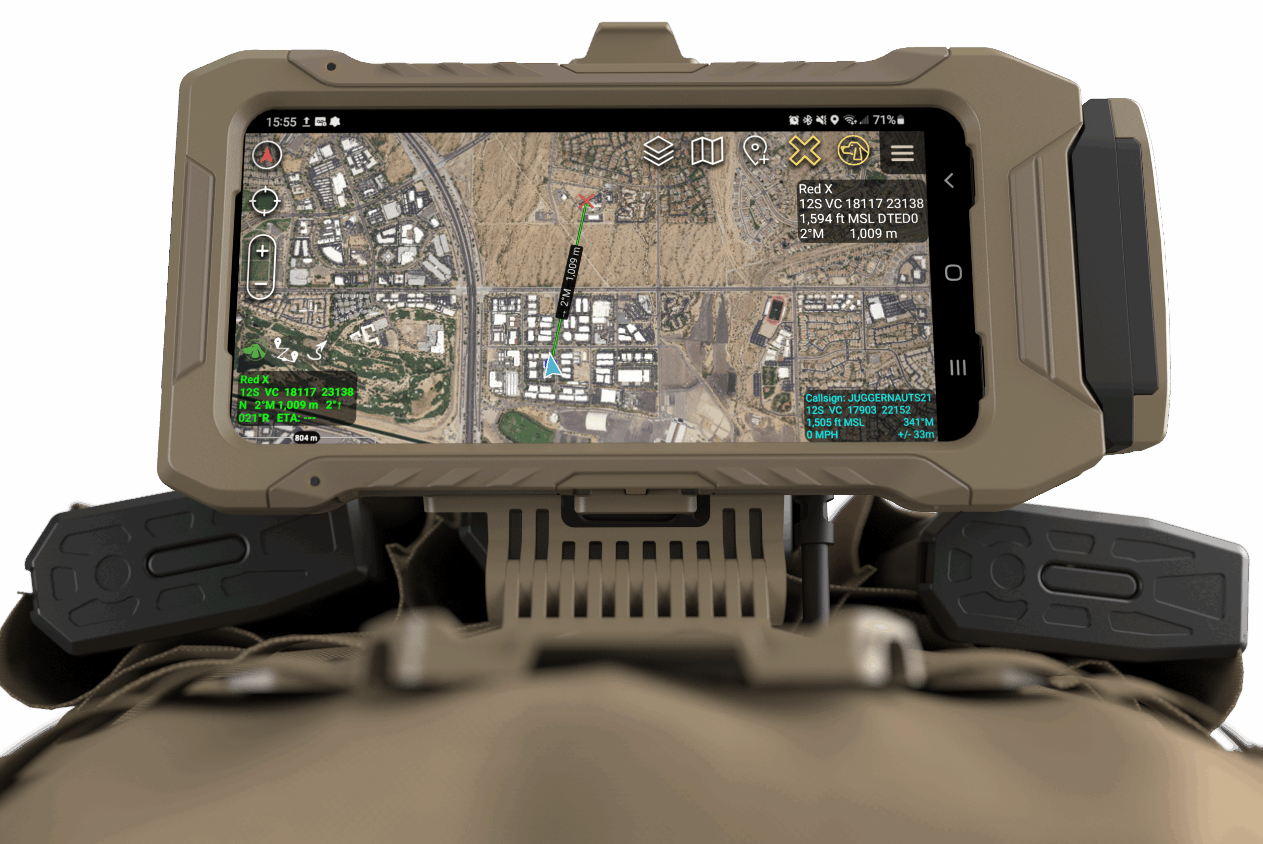
A 𝗧𝗲𝗮𝗺 𝗔𝘄𝗮𝗿𝗲𝗻𝗲𝘀𝘀 𝗞𝗶𝘁 (𝗧𝗔𝗞) is a government-developed tactical solution that enables the generation, visualization, and sharing of tactical data, fostering shared situational awareness and communication for military and civilian users. The platform is available in versions like Android Team Awareness Kit (ATAK) and Windows Team Awareness Kit (WinTAK), and supports interoperability through common data standards. TAK is used in diverse scenarios, from wildland firefighting and public safety to military operations, enhancing coordination and response capabilities by providing real-time location tracking and collaborative mapping features.